RandoNav FR

One planner per trail.
Not one app for every trail.

Generic hiking apps know where the paths are. They do not know that the Grand Col Ferret sells out in October, or that the refuge at Ortu di u Piobbu burned down. RandoNav builds a separate planner for each route, and each one knows its own trail properly.

Free. No account. Works offline. English and French.

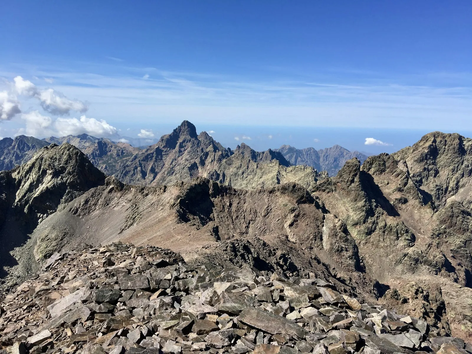
GR20 Planner

Corsica · France

  • 177.5km
  • 11,340m ascent
  • 26stops
  • 16stages

What it does that a general app does not

  • Live refuge availability, rechecked every 30 minutes. Read from the Corsican park's own booking system, pnr-resa.corsica — and broken out per sleeping option, because a full dormitory does not mean a full bivouac field.
  • Cancellation alerts. Lock a plan and it watches your specific refuge-nights. When one flips from full to free you get a push notification.
  • Terrain grading from OpenStreetMap's sac_scale. Day estimates account for how technical the ground is, not just distance and ascent — which on the GR20 is the difference between a 6-hour day and a 9-hour one.
  • Every stop, including the ones that are not refuges. Bergeries, gîtes and the two bivouac-only sites where the refuge burned down, each with its own booking route.
  • Works with no signal. Offline topographic maps, elevation profile, GPS with off-route warning, GPX and PDF export.
  • On Google Play as well as in the browser.

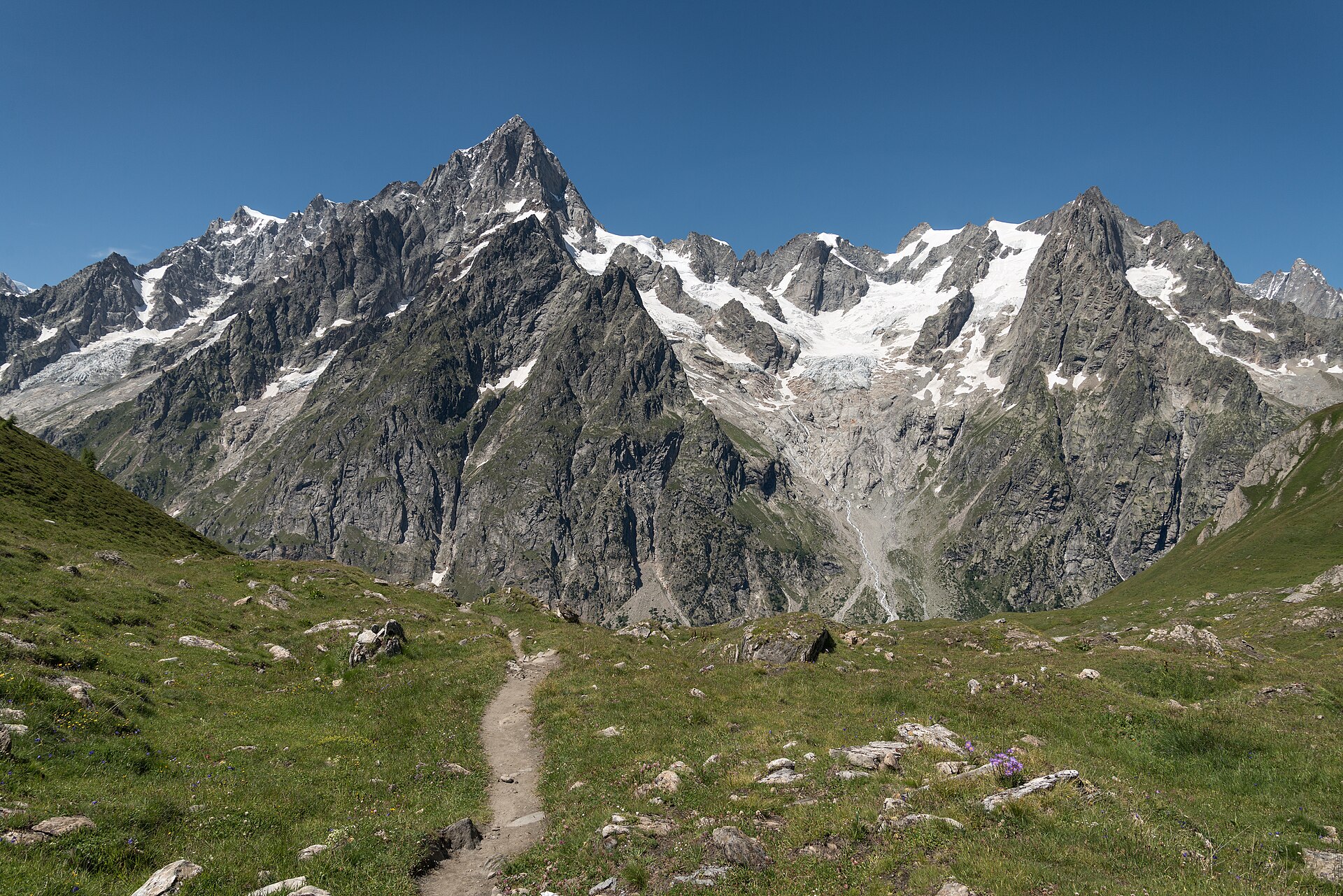
TMB Planner

France · Italy · Switzerland

  • 165.7km
  • 10,383m ascent
  • 59stops
  • 11stages

What it does that a general app does not

  • Live hut availability for 40 huts, rechecked every hour — with the number of places left, read from the Tour du Mont-Blanc booking portal.
  • Cancellation alerts, which on this trail are the point. A snapshot of the portal across all 40 huts and the next 14 months returned 14,310 full hut-nights against 841 free. Beds, not fitness, are what decide a Tour du Mont Blanc.
  • It tells you which huts it cannot check. Bonatti, Elisabetta, Elena, the Croix du Bonhomme, Lac Blanc and Bellachat book themselves — they are marked book-direct and linked, never shown as unknown.
  • Loop-aware. Direction is clockwise or anti-clockwise, and the two half-loops pivot on Courmayeur — the only point besides Chamonix with a tunnel bus back.
  • Built for three countries. Works entirely offline, which matters on the two days between the Grand Col Ferret and the Col de Balme when your phone is roaming outside the EU.
  • Measured, not copied. Route from OpenStreetMap, elevation from a DEM, stage figures computed from both — stages, per-stop ascent and the elevation profile agree to within rounding.

What both of them share

Plans around real beds

Days end where you can actually sleep. Set your pace and available days; the planner splits the trail at genuine stops rather than at round numbers of kilometres.

Availability, not guesswork

Both read the trail's official booking system directly and show status per night, with a timestamp so you know how fresh it is.

Offline by default

Topographic maps, elevation profile, GPS position and off-route warning, all working with the radio off.

Daily briefing

Each morning: the day's distance, climb, terrain, weather and where the water is.

Export and share

PDF for your pocket, GPX for your watch, and a share link with a QR code that restores the whole plan.

Free, and no account

Nothing to sign up for. Your plan lives on your device.

Why one app per trail

A single app covering every trail on earth can only know what is generic: a line on a map and a distance. It cannot know that the GR20's refuges sell three different kinds of bed through a Corsican park website, or that six of the best-known huts on the Tour du Mont Blanc are missing from the portal that sells the other forty. That knowledge does not generalise — it has to be built per trail, and kept up per trail.

So that is what these are: two planners that each do one route properly, sharing the same engine underneath.